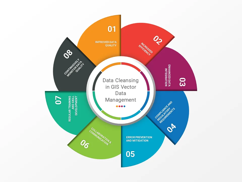
The Importance of Data Cleansing in GIS Vector Data Management

discussing data cleansing in GIS vector data management

Geographic Information Systems (GIS) have become increasingly essential for various industries, from urban planning to environmental management and disaster response. The heart of any GIS lies in the quality and accuracy of its vector data, which represents the spatial information of geographical features such as points, lines, and polygons. In this blog post, we will … Read more
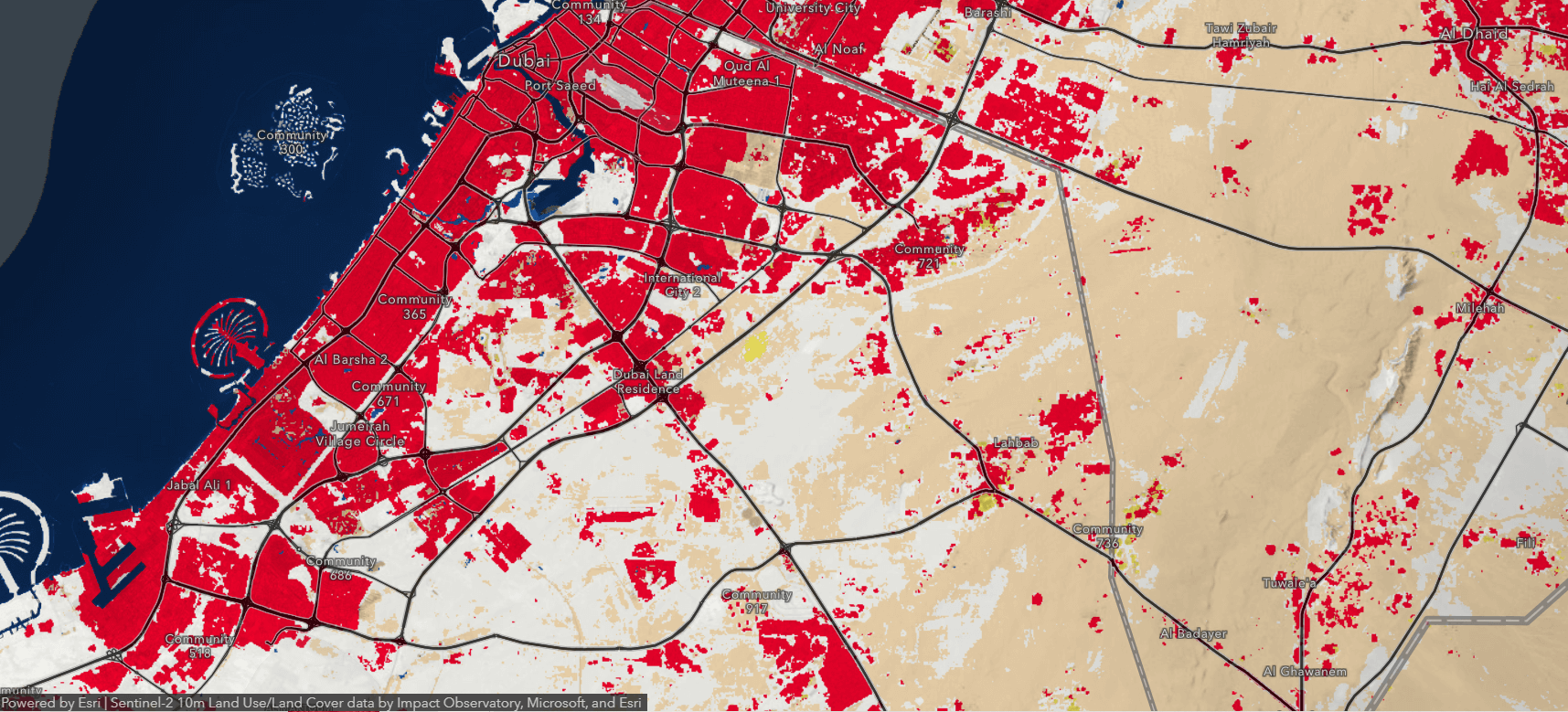
How to Split an Input with Overlaying Features to Create a Subset of Output Feature Classes in ArcGIS 10.8.1

Using ArcGIS 10.8.1 Split tool, an input layer with overlaying polygons can be split into a subset of output feature classes. Split takes input features and creates a subset of output feature classes. Follow these step-by-step instructions: 1. Launch ArcGIS: Open ArcGIS Desktop on your computer 2. Create or open a map: Create a new … Read more

The Power of AI in GIS: Revolutionizing Vector Data Automation

ai-in-gis-vector-data-automation

The rapid advancements in Artificial Intelligence (AI) have revolutionized countless industries, and Geographic Information Systems (GIS) are no exception. The integration of AI in GIS has led to unprecedented improvements in the management, processing, and analysis of geospatial data, particularly in vector data automation. In this article, we will explore how AI in GIS can … Read more

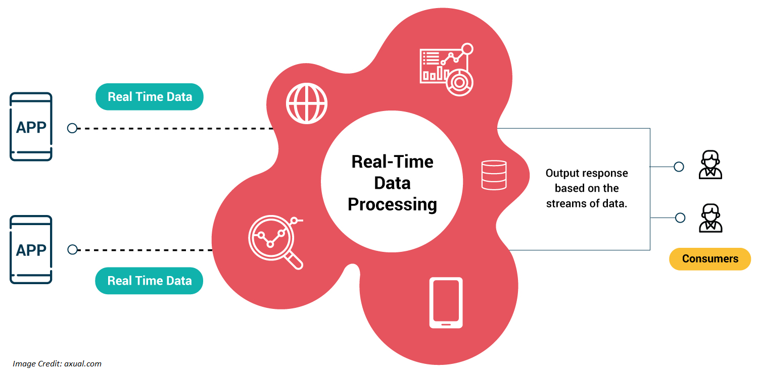
Unleashing the Power of Real-Time Vector Data Processing and Analysis in GIS

real time vector data processing

Our world is constantly changing, and the need for real-time information has never been more crucial. Geographic Information Systems (GIS) have long played an essential role in capturing, managing, and analyzing geospatial data to help decision-makers across various industries. With the ever-growing volume and variety of data collected, real-time vector data processing and analysis in … Read more