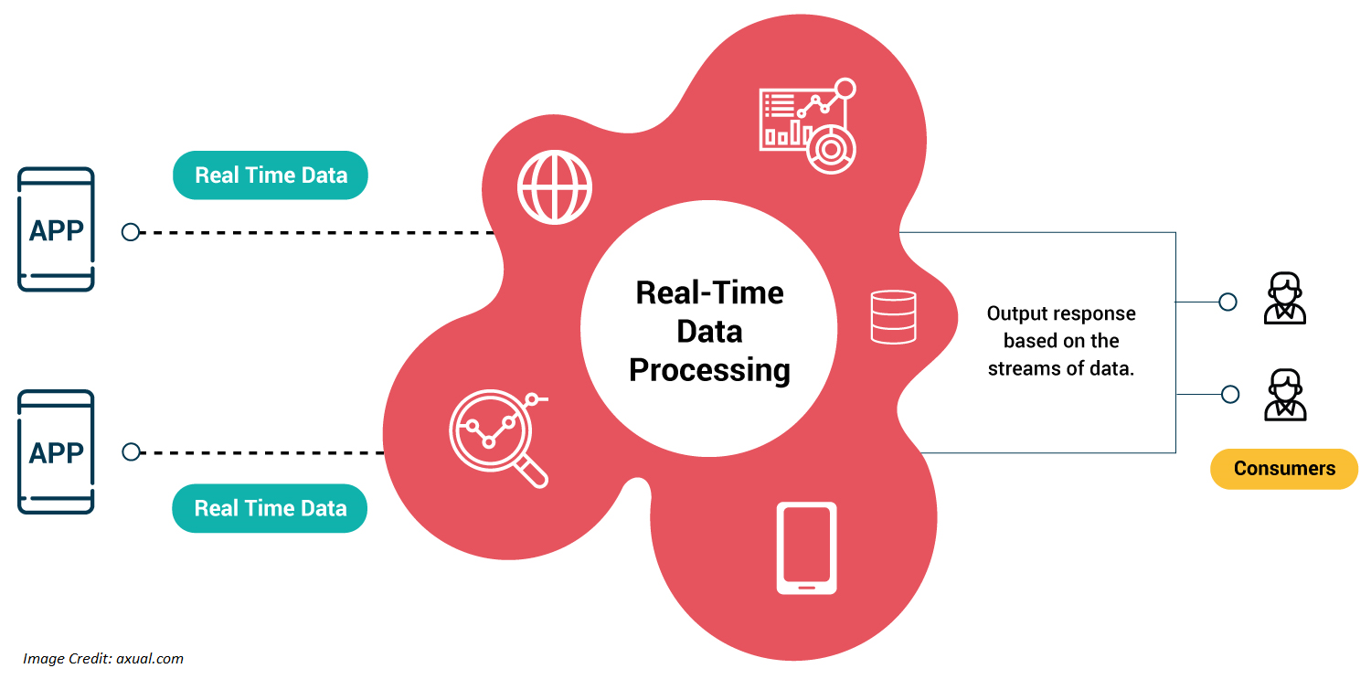
Our world is constantly changing, and the need for real-time information has never been more crucial. Geographic Information Systems (GIS) have long played an essential role in capturing, managing, and analyzing geospatial data to help decision-makers across various industries. With the ever-growing volume and variety of data collected, real-time vector data processing and analysis in GIS have become increasingly important. Today we will explore the significance of real-time vector data processing and analysis in GIS, its applications, and the challenges and opportunities it presents.
The importance of real-time vector data processing and analysis in GIS
Real-time vector data processing and analysis in GIS allow for the rapid interpretation and visualization of geographic information as it is collected. This immediacy provides several key benefits:
- Faster decision-making: Real-time data analysis enables decision-makers to respond promptly to emerging situations, making time-sensitive decisions more efficiently and effectively.
- Enhanced situational awareness: Real-time visualization of geospatial data allows users to monitor dynamic events as they unfold, improving their understanding of the situation and facilitating more informed decision-making.
- Improved resource allocation: With real-time information, organizations can optimize the allocation of resources and personnel, ensuring that they are deployed where needed most.
Applications of real-time vector data processing and analysis in GIS
Real-time vector data processing and analysis in GIS have a wide range of applications across various fields:
- Disaster management: In the wake of natural disasters such as hurricanes, earthquakes, or floods, real-time vector data analysis can provide emergency responders with up-to-date information on affected areas, helping them prioritize rescue efforts and allocate resources more effectively.
- Transportation and traffic management: Real-time processing of vector data from traffic sensors, GPS devices, and other sources enables transportation agencies to monitor traffic conditions, identify bottlenecks, and implement strategies to improve traffic flow.
- Environmental monitoring: By processing real-time vector data from satellites, sensors, and other sources, environmental agencies can track and monitor pollution, deforestation, and other environmental changes, allowing them to take timely action to mitigate negative impacts.
- Urban planning: Real-time geospatial data analysis can help city planners identify trends in urban growth, monitor infrastructure, and make informed decisions about allocating resources and services.
Challenges and opportunities
Despite the tremendous potential of real-time data processing and analysis in GIS, several challenges must be addressed:
- Data volume and variety: The sheer volume of generated real-time data can be overwhelming, and managing data from various sources and formats can be challenging.
- Data quality and accuracy: Ensuring the quality and accuracy of real-time data is crucial for meaningful analysis. However, maintaining high-quality standards can be difficult when dealing with large volumes of data from various sources.
- Scalability: As the volume of real-time data grows, GIS systems must be able to scale to handle the increased load without compromising performance.
- Privacy and security: With the increasing amount of geospatial data being collected and shared, privacy and data security concerns have become more prominent.
Continued investment in research and development and collaboration between GIS professionals, researchers, and technology providers is essential to overcome these challenges. Advancements in cloud computing, artificial intelligence, machine learning, and data integration techniques offer promising avenues for addressing these challenges and unlocking the full potential of real-time vector data processing and analysis in GIS.
Conclusion
Real-time vector data processing and analysis in GIS holds immense potential for improving decision-making, resource allocation, and situational awareness across various industries. By addressing the challenges and embracing the opportunities presented by this emerging field, GIS professionals can help shape a more responsive, data-driven world.
