Geographic Information Systems (GIS) have become increasingly essential for various industries, from urban planning to environmental management and disaster response. The heart of any GIS lies in the quality and accuracy of its vector data, which represents the spatial information of geographical features such as points, lines, and polygons. In this blog post, we will discuss the importance of data cleansing in GIS vector data management and how it can significantly impact the outcome of any GIS-related project.
What is Data Cleansing?
Data cleansing, also known as data cleaning or scrubbing, is identifying and correcting or removing errors, inconsistencies, and inaccuracies in datasets. In the context of GIS vector data, this can involve fixing geometric errors, removing duplicates, or updating attribute information. The aim is to improve the overall quality and reliability of the dataset, ensuring it is fit for various GIS applications.
Why is Data Cleansing Important in GIS Vector Data Management?
Data cleansing is crucial in GIS vector data management for several reasons, all of which contribute to the overall effectiveness and success of GIS projects. Here’s why data cleansing is essential:
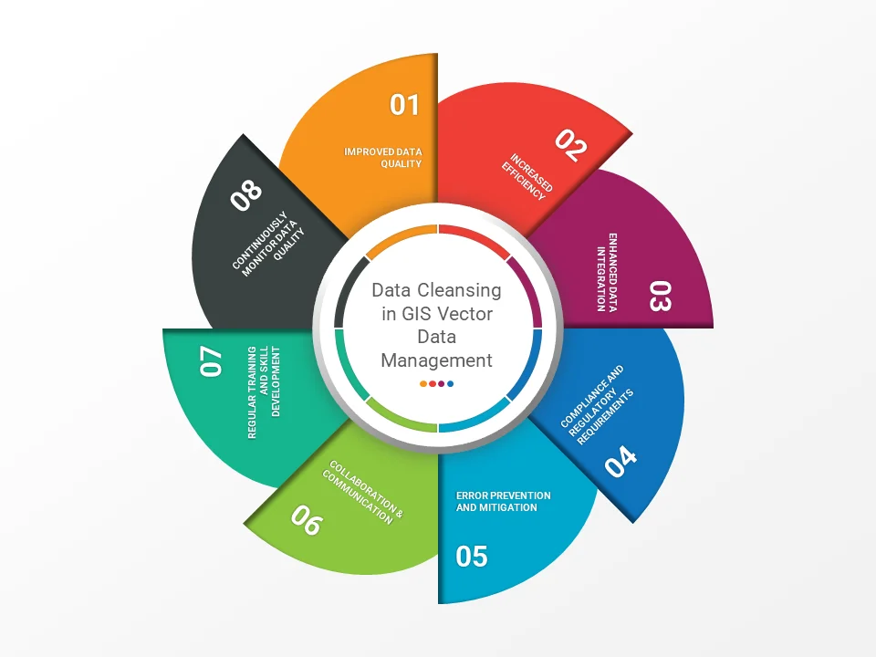
Improved Data Quality
The accuracy and reliability of GIS analyses, visualizations, and decision-making processes depend on the quality of the underlying vector data. Data cleansing helps identify and correct errors, inconsistencies, and inaccuracies, resulting in more reliable and trustworthy spatial information. High-quality data leads to more accurate conclusions and better-informed decisions.
Increased Efficiency
Clean and well-structured vector data simplifies GIS operations, making it easier to work with the data, perform spatial analyses, and visualize results. Data cleansing eliminates redundant or irrelevant information, streamlines workflows, and saves time and resources, improving overall performance.
Enhanced Data Integration
GIS projects often involve integrating multiple datasets from different sources. Data cleansing is vital for ensuring the correct combination of these datasets, as inconsistencies or inaccuracies can lead to incorrect analyses or misinterpreting results. Standardizing and harmonizing data during the cleansing process allows GIS professionals to integrate and analyze datasets more confidently.
Compliance and Regulatory Requirements
Maintaining accurate and up-to-date GIS data is necessary for certain industries to meet regulatory requirements or industry standards. Data cleansing helps organizations ensure their GIS data complies with these requirements, reducing the risk of fines or penalties and maintaining a positive reputation within their industry.
Error Prevention and Mitigation
Data cleansing not only corrects existing errors but also helps prevent introducing new errors during data updates, imports, or integrations. By implementing robust data cleansing processes, organizations can minimize the risk of errors propagating through their GIS vector data, reducing the potential for incorrect analyses or decision-making.
Collaboration and Communication
Multiple stakeholders, including surveyors, data analysts, and decision-makers, often collect, maintain, and use GIS vector data. Effective data cleansing requires clear communication and collaboration between these parties. Sharing best practices and a common understanding of data quality standards helps create a data accuracy and consistency culture, leading to better results in GIS projects.
Regular Training and Skill Development
The field of GIS is continually evolving, with new data cleansing techniques, tools, and best practices emerging regularly. To ensure that GIS professionals can effectively address data quality challenges in their vector data management, they must stay informed and up-to-date on the latest developments. Regular training and skill development can help professionals maintain their expertise and better tackle data quality issues, leading to more accurate and reliable GIS data.
Continuously Monitor Data Quality
Data cleansing should be an ongoing process, as the dynamic nature of geospatial data and the possibility of new errors being introduced during data updates or integration require regular monitoring and maintenance. Continuous data quality monitoring helps maintain the integrity of the GIS vector data, allowing organizations to identify and address issues promptly, ensuring that their data remains accurate and up-to-date.
Conclusion
Data cleansing is essential in GIS vector data management because it directly impacts data quality, efficiency, integration capabilities, regulation compliance, and error prevention. Organizations can further enhance the effectiveness of their data cleansing efforts by incorporating collaboration and communication, regular training and skill development, and continuous data quality monitoring into GIS vector data management practices. These factors, combined with the other benefits of data cleansing, ultimately lead to more accurate and reliable GIS data, better-informed decision-making, and more successful GIS projects.
